Ujamaa Photo Page 2
     
Home Page

About Page

Photo Page

What's New Page

Contact Page

Important Links

Ujamaa Links

Arc Ecology Findings

Photo Evidence

 
This is where the last fire was ...
Is this off Navy property like they claimed? Are those cap vents near the center? Where is the closest air monitor?

Sure looks like Navy property
The circled area, is where the last fire was. "Off Navy property". I don't think so, again "started by a vagrant" Where is methane from the landfill migrating to?
This is one of my favorite images
Remember we were told the trucks would be always covered hauling toxic material or not.
Sure looks uncovered
This is total disrespect of our health & our community.
This is another of my favorite images
Breaking the law and not giving a damn. No respect for the health of our community.
 

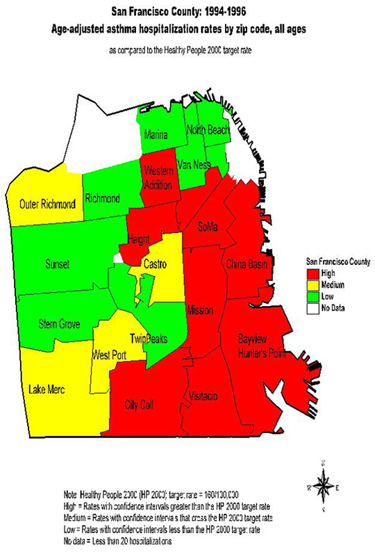
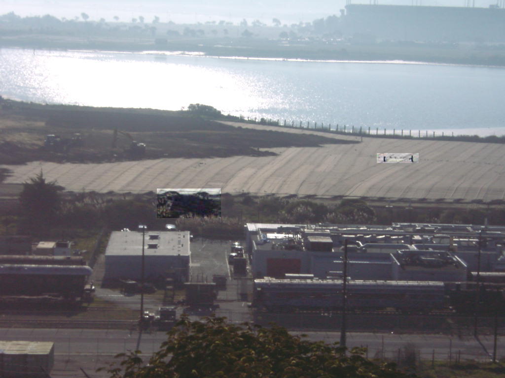
They say a picture is worth a thousand words


I guess like they said "all the 
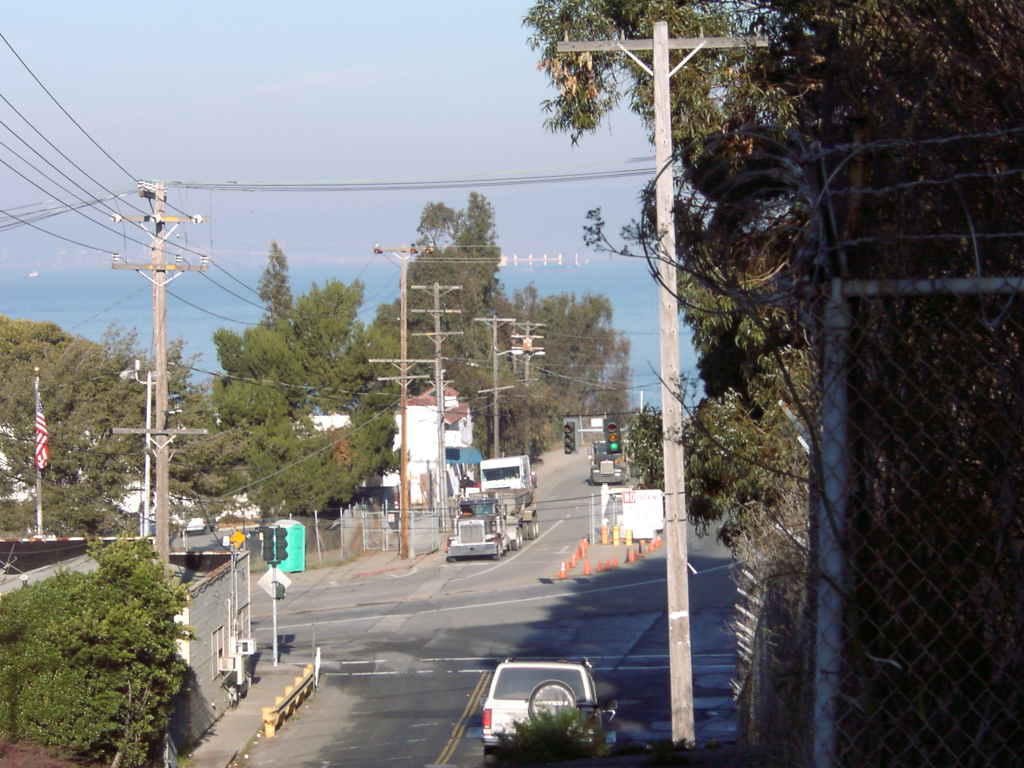
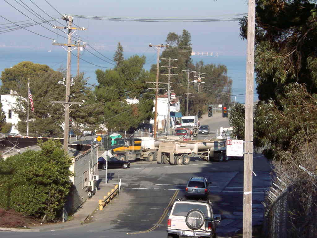
trucks hauling toxics or not, would be covered" So is our illness is imaginary? Our people are suffering, please do the right thing.

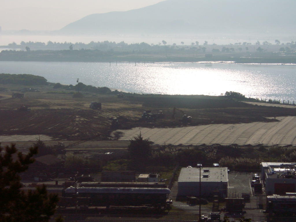
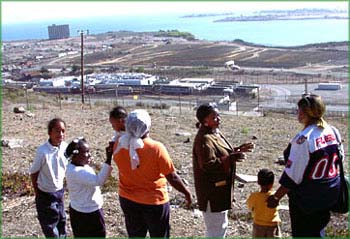
Parcel E Below, home of PCB's, VOC, TOC, petroleum, chlorine canisters, vinyl chloride, radioactive products. Produces benzene, methane & other toxic Pollutants

It also sits on prime real estate known to be considered hazardous in an earth quake subject to liquefaction

This is one of my favorite images
It tells a story